Cascade Canyon's New Bridge Is at the Upper Crossing, Not the Gate
November 5, 2026
November 5, 2026
The approved design for the new bridge in Cascade Canyon calls for a 60-foot span built in two prefabricated sections, with a weathered steel truss, a deck of reclaimed redwood, and a position above the 100-year flood elevation of San Anselmo Creek. Marin County Parks marked it finished on October 12, 2026, after crews worked weekdays from early August through October.
The bridge is not at the entrance most Fairfax walkers use. It crosses the creek about 1,000 feet upstream of the planned lower bridge, which will go in near the gate at the end of Cascade Drive. The lower bridge isn't scheduled until August through October 2027. So this winter, the creek's dry crossing is at the upper end of the stretch. The trail that connects to it best is the Canyon Trail on the south bank, not the fire road from the Cascade Drive gate.
Cascade Canyon Preserve covers 504 acres above Fairfax, and the County's rangers say Cascade Falls, a 20-foot drop, is best seen "when it's running strong in rainy season." The same rain that fills the falls has long cut off the canyon's main route. Cascade Fire Road starts at the end of Cascade Drive and runs up the valley floor, crossing San Anselmo Creek four times at low-water rock fords. The County's environmental study for the project says those fords become impassable when storm runoff is high.
Here are the crossings in order from the gate, using the project's own plans:
The design sets the approaches on both sides at a grade under 8.3 percent, about 180 feet of new trail on the north side and about 50 feet on the south. Both approaches curve to lead walkers onto the deck and away from the old rock ford. The plan also calls for about 150 feet of split-rail fencing on the north side of the bridges to keep visitors off the fords, with a removable rail section so maintenance and emergency vehicles can still get through.
The Canyon Trail runs 1,600 feet along the flat terrace on the south bank of San Anselmo Creek and crosses Carey Camp Creek on a wooden footbridge. The new bridge's south approach comes off that bank. The County lists the end of Canyon Road as the alternate trailhead for the preserve. Put those together, and the approved design lets someone start on the south side and cross to the north-bank interior on the new deck without stepping into the creek.
From the Cascade Drive gate, the fire road still reaches the creek at the lower crossing, where no bridge exists yet. Under the plan, that lower crossing is the last piece and gets done in 2027. Until then, the Canyon Road side of the canyon is the one connected to the finished bridge. On a wet day, follow the posted signs at either trailhead about which routes are open.
The plan changes the Canyon Trail's use too. It would switch the trail from hikers and horses only to multiuse and add chicanes, made of boulders or logs at tight corners, to slow bikes near the lower bridge. Signs would tell riders that bikes may not exit the Canyon Trail to Canyon Road. Whatever the posted signs say on a given day are the rules that apply.
For years, the winter answer to a full creek was the High Water Trail, a narrow path that runs 1,200 feet up the north bank. The County's study describes it as two to five feet wide, with short pitches up to 40 percent and stretches across slopes steeper than 70 percent. It has one ford, one puncheon and one small bridge, and two segments rely on retaining walls.
The trail wasn't adopted into the Open Space District's official system during its regional trail planning. The District judged it below its design and safety standards because of steep slopes and active erosion into the creek. The project plan calls for removing it entirely. Its bridge, puncheon and ford would come out, the slope would be regraded, and the area would be replanted with native grassland and oak woodland species.
The plan also removes a 50-foot spur that runs from the Canyon Trail down to the first rock ford, which the study calls heavily used. The plan makes the two bridges the only visitor crossings to protect the creek itself. The County says San Anselmo Creek here supports federally listed steelhead and foothill yellow-legged frogs, which in Marin are now limited to a few isolated creeks, Cascade Canyon among them. Foot traffic through the fords can stir up fine sediment that harms the fish downstream.
The project started as a proposal in 2016 and is now half complete.
Splitting the work across two summers keeps construction in the dry months both years. That's also why the fall 2026 closures were limited to weekdays from 8 a.m. to 4 p.m. on Cascade Fire Road, while Cascade Falls Trail, Middle Fire Road, Carey Camp Trail and Canyon Trail stayed open. Expect a similar pattern next August.
Neither trailhead has a lot. The County lists only limited street parking in the residential blocks of Cascade Drive and Canyon Road, warns that busy weekends and holidays are hard, and asks visitors to be respectful of the people who live there. There are no restrooms, and trails can be muddy in the rainy season.
The preserve rules are short:
The County's naturalist notes point to mushrooms and ferns as the winter highlight, and the upper reaches of San Anselmo, Carey Camp and Cascade creeks run year-round.
Both trailheads lead back to downtown. Cascade Drive branches off Bolinas Road at the stop sign and runs about 1.5 miles to the gate. The Town's community events calendar has several dates over the coming weeks that pair well with a morning in the canyon:
The Winter Market lands on a Saturday. That makes it easy to start at the Canyon Road trailhead in the morning, cross the new bridge, take in the falls once the rains are steady, and walk to Bolinas Road for the evening.
We love seeing Fairfax projects like this finally get finished, and we track them because they shape everyday life in town. If you're in Fairfax and wondering how changes like the Cascade Canyon bridges affect your property, Christina & Karla - Home In Marin would be glad to talk it through. Request your free home valuation and we'll give you a clear, local read on where your home stands.
Stay up to date on the latest real estate trends.
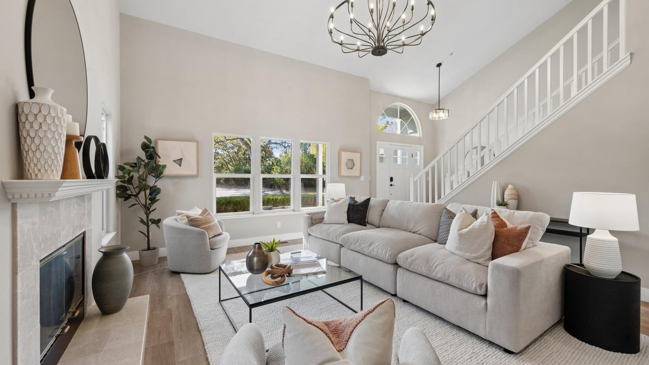
This exceptional 5-bedroom, 3.5-bath home offers approximately 3,337 square feet of thoughtfully designed living space, complemented by an expansive garage of over 700… Read more

Fall is here and October is full of celebrations and events to welcome the season. From San Francisco to Sonoma County, here’s what’s happening this month. San Franci… Read more
Christina and Karla have represented a broad range of properties and clientele which has given them a vast amount of industry knowledge and expertise, in turn providing tremendous results for those they represent. They are well-acquainted with the marketplace and easily able to gain knowledgeable insight on inventory for their buyers.